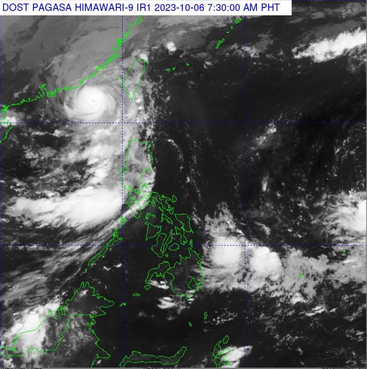
A new low pressure area (LPA) is brewing outside the Philippine Area of Responsibility (PAR) which may enter the country over the weekend, the state-run weather agency said on Friday.
Weather specialist Aldczar Aurelio of the Philippine Atmospheric Geophysical and Astronomical Services Administration (Pagasa) said the weather disturbance was last spotted some 1, 950 kilometers east of Southeastern Luzon (outside PAR)

“We are closely monitoring this LPA which has a chance to enter PAR over the weekend,” Aurelio said.
Meanwhile, Typhoon “Koinu,” (“Jenny” in the Philippines) continues to enhance the southwest monsoon, locally known as “habagat,” even after leaving the country, according to the Pagasa forecaster
The trough of Jenny still affects areas in Ilocos Norte, Batanes and Babuyan Islands, the state weather bureau said.
In particular, habagat is bringing overcast skies with scattered rain showers and thunderstorms over Metro Manila, Zambales, Bataan, Cavite, Batangas, Occidental Mindoro and the rest of Ilocos Region.
The same weather system, along with the localized thunderstorms is affecting the rest of the country where partly cloudy to cloudy skies with isolated downpour and thunderstorms may prevail within the next 24 hours, Pagasa said.

Leave A Comment