
Metro Manila, Philippines— A tropical storm (TS) east of Mindanao could intensify into a super typhoon and enter the Philippine Area of Responsibility (PAR) by next week, the state weather bureau warned on Saturday.
The storm was last spotted 2,525 kilometers east of Mindanao, outside of the PAR, and embedded along the Intertropical Convergence Zone (ITCZ) – an area where the northeast and southeast trade winds converge to form clouds and rains, the Philippine Atmospheric, Geophysical and Astronomical Services Administration (PAGASA) said.
“Hindi natin inaalis yung possibility na lalakas pa ito [We are not ruling out the possibility that it will intensify] either by typhoon or super typhoon,” PAGASA weather specialist Benison Estareja said.
The storm was packing maximum sustained winds of 45 kilometers per hour (kph) and gusts of 55 kph. It was seen moving northward at 20 kph and is expected to move north-northwest towards Guam by Sunday then northwestward by Wednesday.
It intensified into a tropical storm Saturday afternoon and was given the international name “Mawar.” It could then enter PAR by Friday or Saturday next week if it continues its northwestern movement, Estareja added.
Once the TS enters the country’s weather monitoring area, it will be named Betty, the second tropical cyclone for 2023 and the first for the month of May.
“Ibig sabihin, kung ganito ang nakikita nating track for this tropical depression, mababa ‘yong tiyansa na ito’y tatama sa ating kalupaan,” Estajera explained Saturday morning. “Subalit ang dapat nating i-monitor ay ‘yong pag-enhance o pagpapaibayo ng habagat or southwest monsoon sa malaking bahagi ng bansa sa susunod na linggo.”
[Translation: If this is the forecasted track for this tropical depression, this means it has a low chance to make landfall. But we will monitor how this will enhance the southwest monsoon over huge parts of our country next week.]
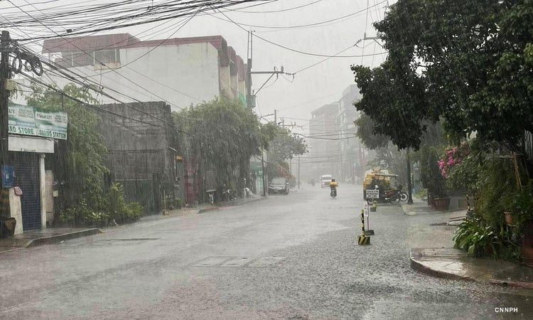
Meanwhile, Filipinos may expect the start of the rainy season by the last week of May.
“Sa mga nagtatanong kung posible na bang magsimula ang tag-ulan anytime, ang sagot natin diyan ay posible itong magsimula sometime sa mga huling araw ng Mayo, so maaaring later next week hanggang sa mga unang araw ng Hunyo,” Estareja said.
[Translation: For those asking if the rainy season could possibly start anytime, our answer is it will possibly start sometime in the last days of May, so maybe later next week until the first days of June.]
Because of the ITCZ, Western Visayas, Central Visayas, Zamboanga Peninsula, Bangsamoro region, and Palawan may expect cloudy skies on Saturday with scattered rain showers and thunderstorms that could trigger flash floods or landslides due to moderate to at times heavy rains.
The rest of the country may experience partly cloudy to cloudy skies with isolated rain showers or thunderstorms caused by the ITCZ and localized thunderstorms.