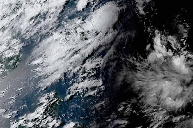
Manila, Philippines — Cyclone Goring intensified into a tropical storm Tuesday afternoon while moving over the Philippine Sea, state weather bureau PAGASA said.
Goring was last spotted 265 kilometers east of Basco in Batanes, with peak winds of 75 kph near the center and gusts of up to 90 kph. It was moving northwest at 10 kph.
Goring may become a severe tropical storm in the next 36 hours, and may reach typhoon category by Saturday.
PAGASA said “the inherent volatility of attaining the super typhoon category remains a possibility.”
What to expect
According to PAGASA, Goring is “less likely” to bring heavy rainfall over the country in the next three days. But it noted that any westward shift in the track may result in heavy rainfall over portions of Cagayan Valley due to Goring’s proximity to the country’s landmass.
Starting late Saturday or Sunday, Goring may enhance the southwest monsoon, which will trigger occasional rain over the western portions of Luzon.
The state weather agency may start raising wind signals in parts of northern Luzon Thursday evening or Friday.
The possible enhancement of the southwest monsoon may also result in gusty conditions beginning Sunday or Monday over most of southern Luzon and Visayas, as well as portions of Mindanao.
PAGASA advised those with motor bancas and similarly-sized vessels to avoid navigating the coastal waters of extreme northern Luzon and northeastern portion of mainland Cagayan due to moderate to rough seas.
Forecast position
- August 25, 2023 2:00 AM – 245 km east of Basco, Batanes
- August 25, 2023 2:00 PM – 310 km east of Calayan, Cagayan
- August 26, 2023 2:00 AM – 295 km east of Aparri, Cagayan
- August 26, 2023 2:00 PM – 265 km east northeast of Tuguegarao City, Cagayan
- August 27, 2023 2:00 AM – 265 km east northeast of Casiguran, Aurora
- August 27, 2023 2:00 PM – 330 km east of Casiguran, Aurora
- August 28, 2023 2:00 PM – 580 km east of Tuguegarao City, Cagayan
- August 29, 2023 2:00 PM – 455 km east of Basco, Batanes
— Gaea Katreena Cabico
