
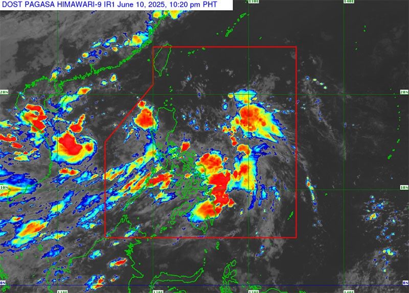
MANILA, Philippines — A tropical depression monitored west of Luzon remained outside the Philippine area of responsibility as of yesterday morning, but the enhanced southwest monsoon is expected to bring more rains to parts of the country in the coming days.
PAGASA reported that as of 8 a.m. yesterday, the low-pressure area was located 436 kilometers west of Iba, Zambales. The system was moving southwest at 20 kilometers per hour, carrying maximum sustained winds of 45 kph and gusts of up to 55 kph.
The tropical depression has not been assigned a local name, as it remains outside PAR. The weather bureau said while the system may re-enter PAR, it is not expected to have any direct impact on the country’s landmass.
Despite this, the monsoon, enhanced by the tropical system, continues to affect several areas, particularly in Luzon and parts of the Visayas.
Zambales, Bataan, Occidental Mindoro and Palawan are likely to experience moderate to heavy rains, prompting concerns about possible flash floods and landslides in low-lying or mountainous areas.
Rainfall in the western sections of Luzon is expected to range between 50 and 100 millimeters, with localized areas likely to experience heavier downpours.
By today, PAGASA estimates that accumulated rainfall in Zambales and Occidental Mindoro could reach as much as 200 millimeters.
Looking ahead to Independence Day tomorrow, PAGASA is forecasting continued rains in Metro Manila, Cavite, Batangas, Pampanga, Bataan and other parts of Central and Southern Luzon.
Meanwhile, generally fair weather is expected in most parts of Mindanao, though isolated thunderstorms may develop in the afternoon or evening. The Visayas will continue to experience scattered rains due to the ongoing influence of the monsoon.
No tropical cyclones or other low-pressure areas are currently being monitored inside PAR.
Temperature ranges remain typical for the season, with Metro Manila expected to record highs of 31 degrees Celsius, while Baguio City may see cooler conditions between 18 and 24 degrees Celsius. Highs of up to 33 degrees Celsius are forecast for cities such as Davao, Zamboanga and Tuguegarao.
PAGASA has not issued any gale warnings for Philippine seaboards, and sea travel remains generally safe. The agency, however, continues to urge the public to remain alert and to monitor further updates through its official channels.
Red Cross ready
The Philippine Red Cross said its two million volunteers and emergency response assets are all set to respond to disasters that could arise, given the onset of the rainy season.
PRC chairman Richard Gordon directed staff and volunteers from the PRC national headquarters and its 102 chapters nationwide to plan and prepare for possible rescue and relief operations as the monsoon continues to bring rains to several parts of the country. — Rhodina Villanueva