
The Philippine Atmospheric, Geophysical and Astronomical Services Administration (Pagasa) said on Thursday that a new low pressure area (LPA) will likely enter the Philippine Area of Responsibility (PAR) by Sunday.
However, this weather disturbance still has a slim chance to directly affect the country, according to weather forecaster Patrick del Mundo.
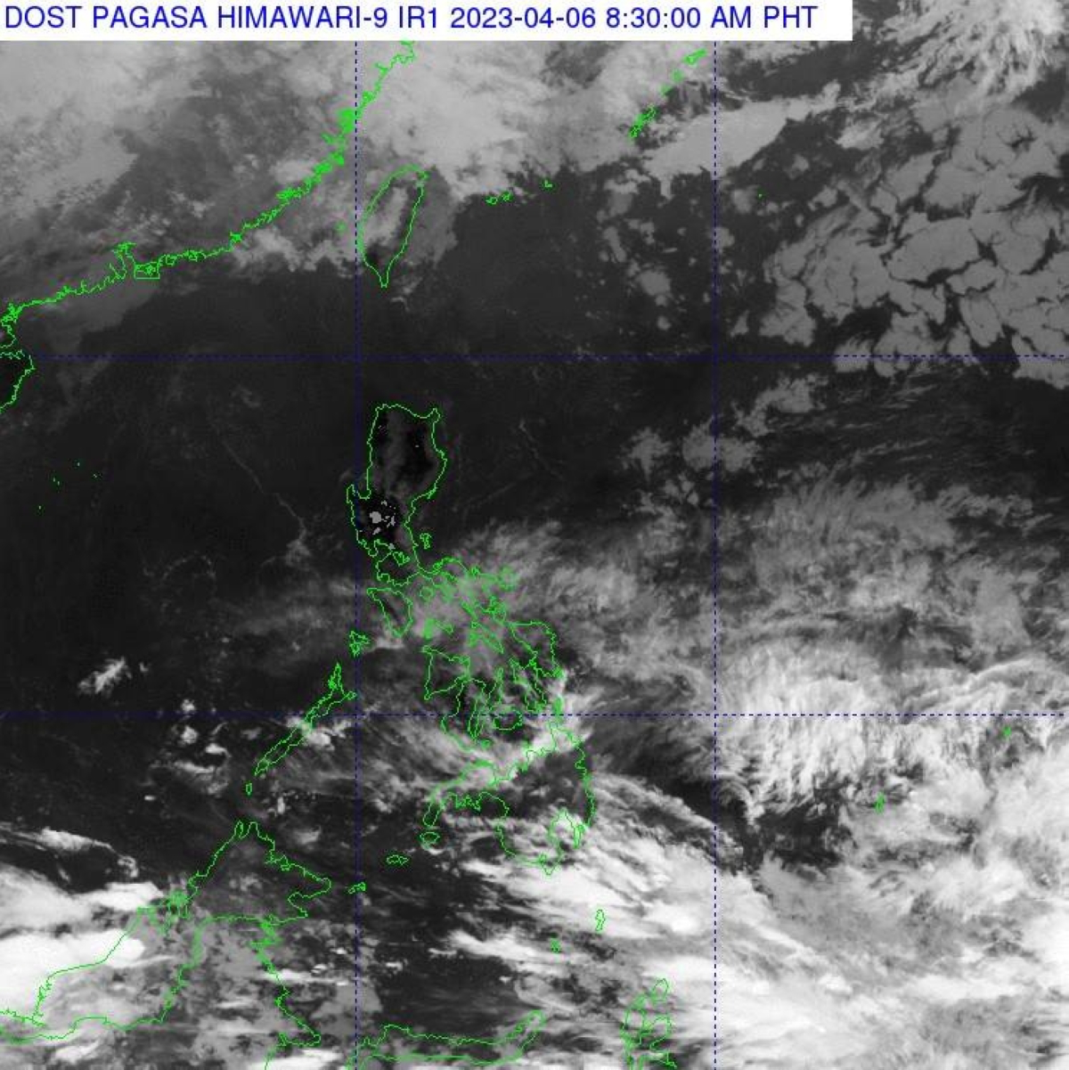
He told The Manila Times that the ridge or extension of the high pressure area (HPA) is affecting Northern Luzon over the next 24 hours.
An opposite of LPA, HPA indicates an area where the atmospheric pressure is higher than its surroundings and formation of clouds is usually suppressed, thus, less chance of rains, Pagasa said.
Most likely, Metro Manila and the rest of the country will have overcast skies and isolated rain showers as well as thunderstorms due to the easterlies and localized thunderstorms, the state-run weather agency said.
“We can experience a hot and humid Holy Week except for some isolated rain showers and thunderstorms that may occur during late afternoon or at night,” he said.
Easterlies are winds coming from the east, passing through the Pacific Ocean and bringing warm and humid weather to the country, the state weather bureau said.